Last updated 10/22/09

When I said the night in Gila NF would be my last cold one, I
was wrong. The temp last night in Guadalupe NP was every bit as cold, dipping
well into the thirties. But today I was making my way further south to Big Bend
NP where I knew the weather would be warmer. And from there I'd be heading
almost due east across Texas, Louisiana, Mississippi, and Alabama to the Florida
panhandle. In the coming days I'd long for some of those frigid temps I couldn't
wait to leave earlier in the week.
Guadalupe Mountains NP lies just over the NM border in Texas at the end of dead
end Hwy 137. The only way out, (unless you're determined to do a lot of hiking),
is to head back out 137 into NM. This time instead of taking it all the way back
to US 285, I took a right on CR 408 for a shortcut to US 180 where I'd head
south to Texas.
Now if I thought Hwy 137 was desolate, CR 408 made it look like a super-highway.
I shared the road with all manner of livestock, all the corners were full of
gravel, and sometimes it was hard to tell the road from the roadside, but I
loved it.
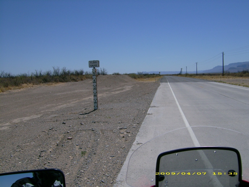
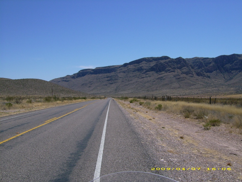
Shortly after entering Texas, I turned south on Hwy 54 and headed south towards
Van Horn. Apparently this area is prone to flash floods and the water can get
quite high, as evidenced by these water level posts on the side of the road.
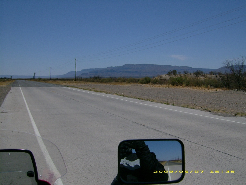
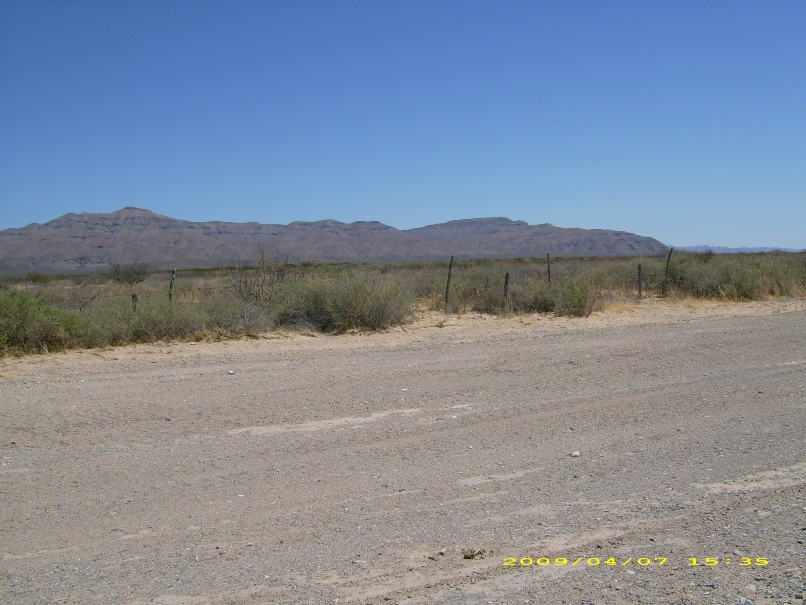
The road was flat and straight, but the landscape was awe inspiring with vast
expanses of open space. For miles I passed through the confines of the famous
Circle 'S' Ranch.
At Van Horn I hopped on I-10 for a short thirty-seven mile jaunt to Hwy 188
where I headed south through the Davis Mountains to Ft Davis.
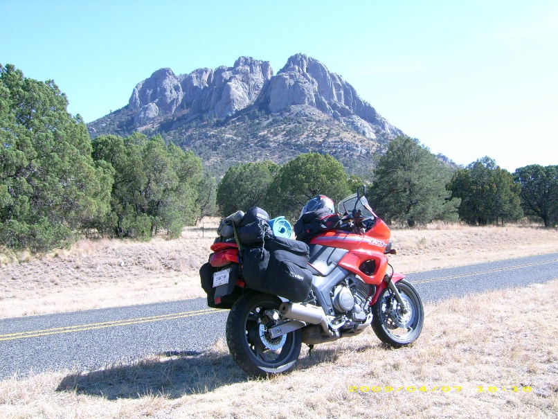
I took the Wildlife Scenic Drive Loop 166 around Mt Livermore, (elev. 8382),
hooking back up with Hwy 118 in Ft Davis. The road, and the views were stunning.
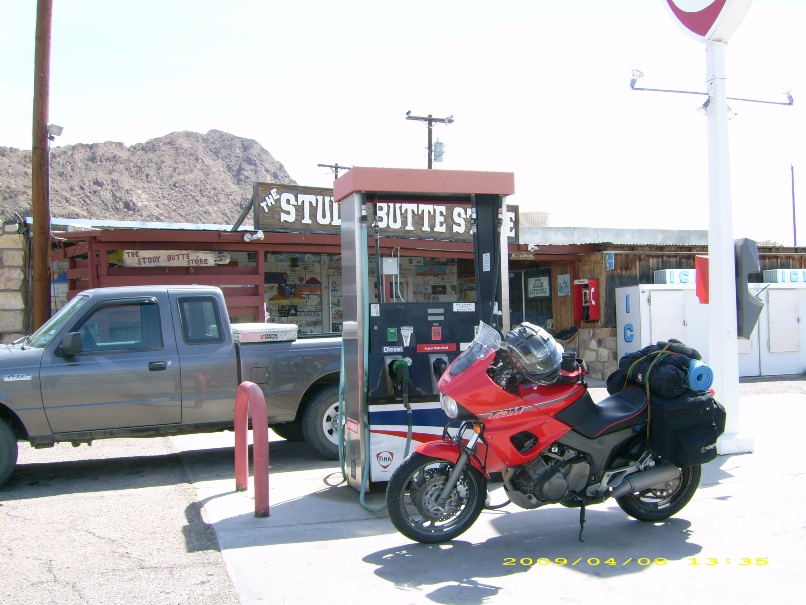
I stayed on Hwy 118 through to Alpine where I filled up with gas, because there
was nothing on the map for the next 100 miles until I got to Study Butte just
outside of Big Bend NP.
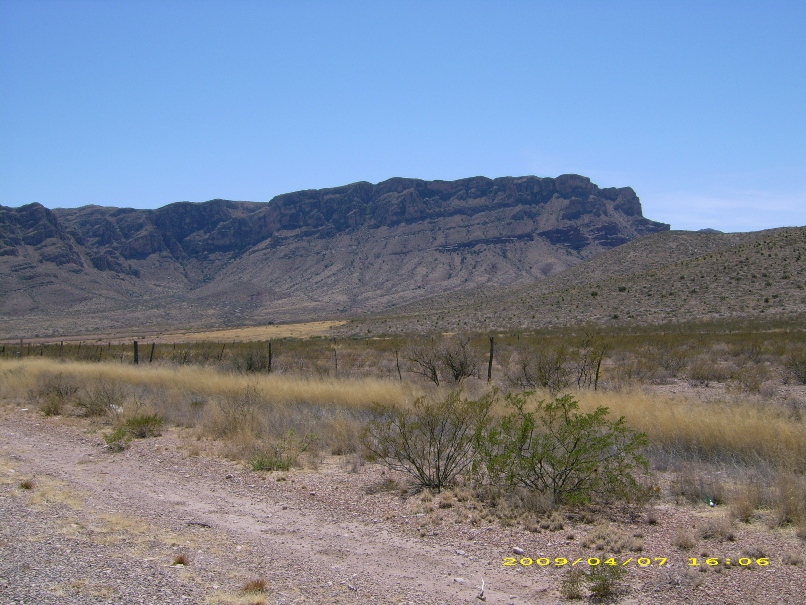
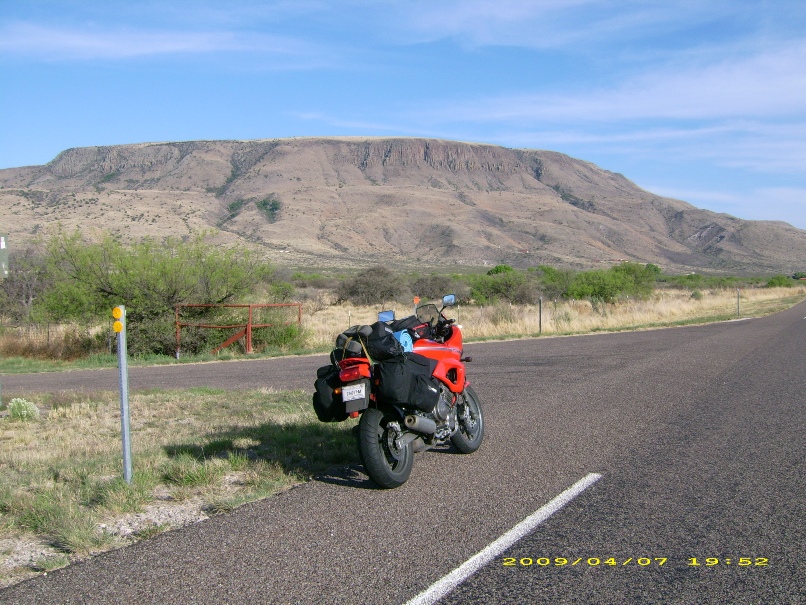
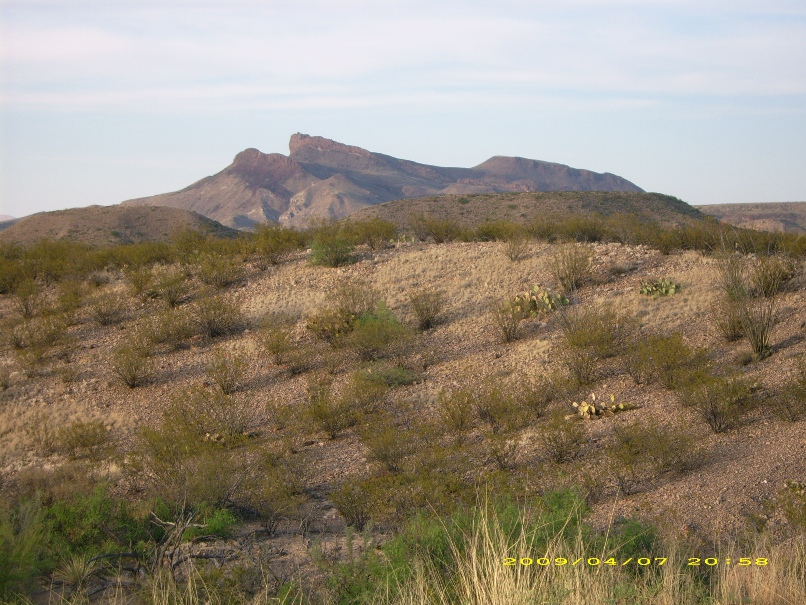
Elephant Mountain on Hwy 118 between Alpine and Study Butte.
Study Butte is an eclectic place. Part store, part gas station, part 60's hippie
hangout.

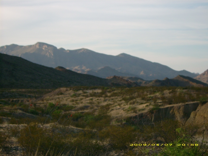
From Study Butte I turned east onto Hwy 170 and crossed into BBNP and was
immediately taken by the stark beauty of my surroundings. Again I had happened
upon one of the best roads I'd ever traveled.
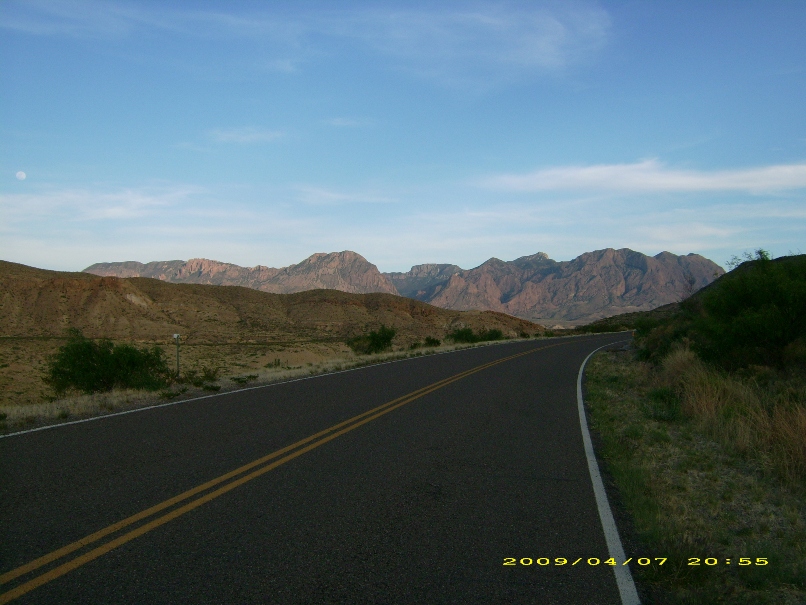
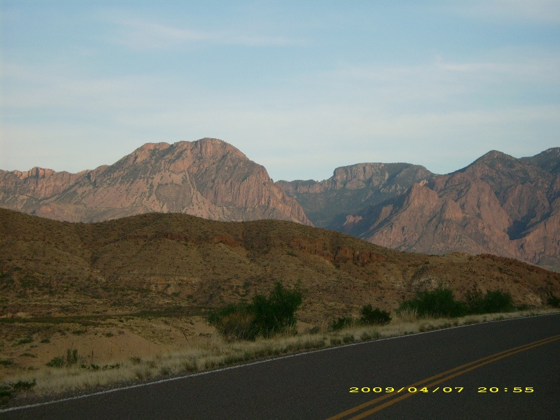
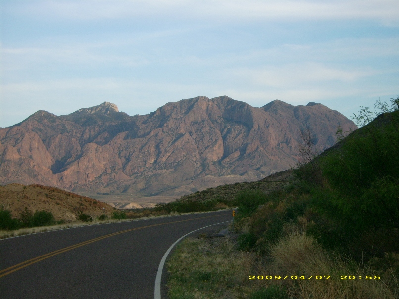
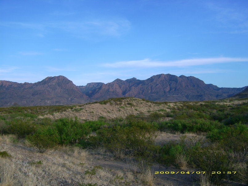
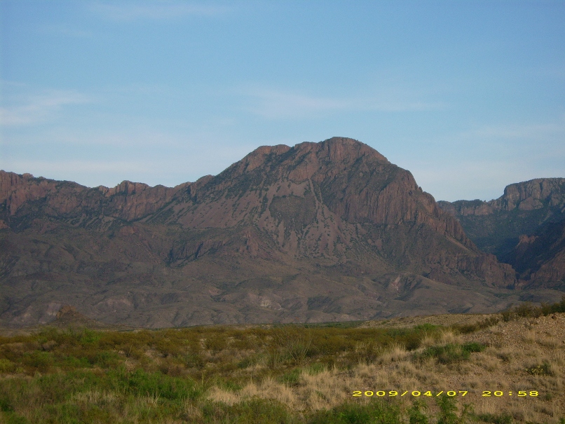
Then I turned down the road to Cottonwood campground, and that twenty-two miles
of tarmac surpassed anything I'd ridden thus far. Maybe it was the glow of the
sun setting in the distance, or the majesty of the mountain spires jutting up
into the sky, or the realization that I was about to reach camp after over 400
miles and ten hours in the saddle, but I had again found my new favorite road.
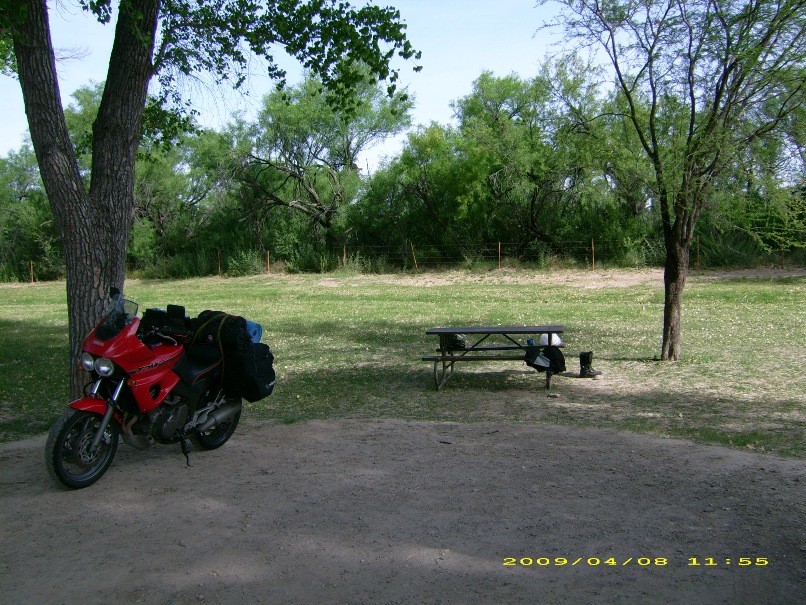
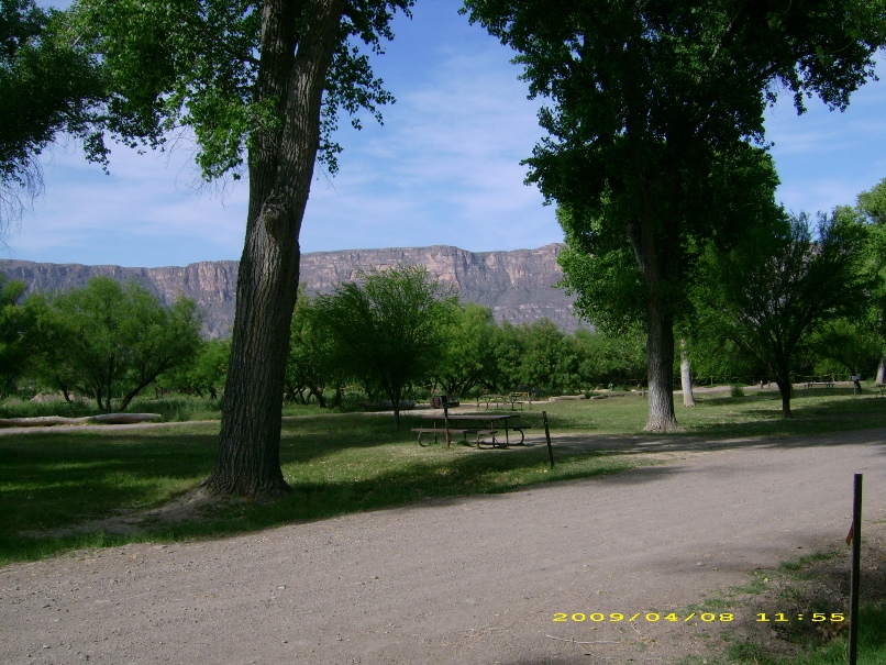
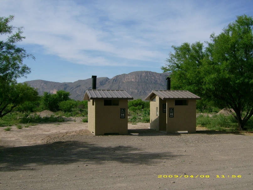
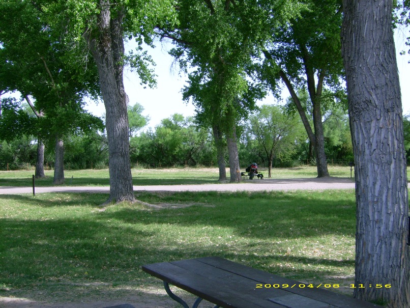
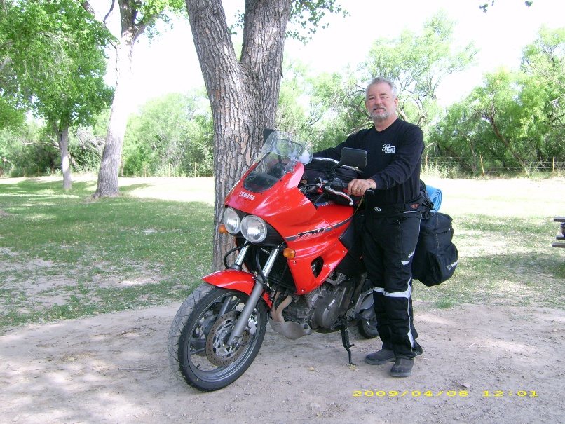
My campsite in Cottonwood campground was tidy. Not what I'd become accustomed to
so far. Picnic tables all arranged neatly in a row. Other campers nearby. I was
back in civilization again, and would be for the remainder of the trip.
Day
1, Salt Lake City, Utah to Escalante, Utah
Day 2, Escalante, Utah to Tuba City, Arizona
Day 3, Tuba City, Arizona to Show Low, Arizona
Day 4, Show Low, Arizona to Silver City, New Mexico
Day 5, Silver City, New Mexico to Guadalupe NP, Texas
Day 7, Big Bend NP, Texas to Rock Springs, Texas
Day 8, Rock Springs, Texas to Martin Dies Jr SP,
Texas
Day 9, Martin Dies Jr SP, Texas to Desoto NF, Mississippi
Days
10 & 11, Desoto NF, Ms to St. George Island, Fl to Christmas, FL
Back to Ride Reports Home Page